
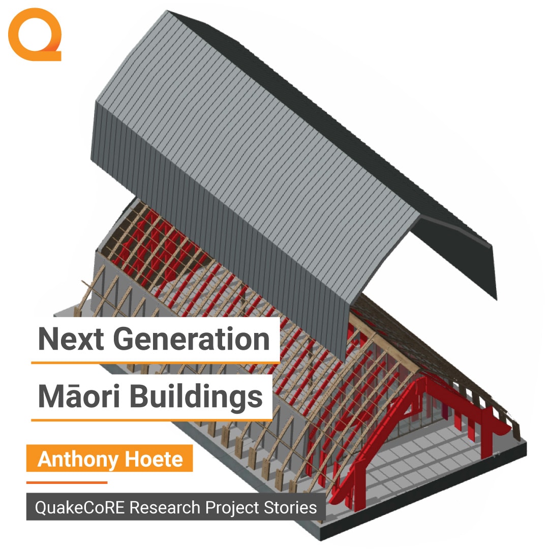
Research Project Stories – Anthony Hoete
August 1, 2023
2023 Annual Meeting – Day One
August 30, 2023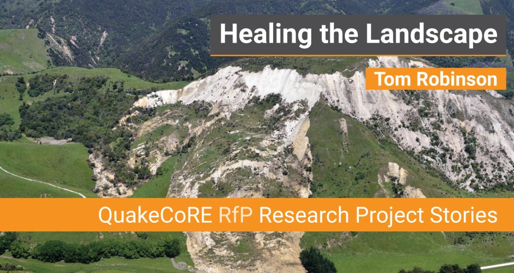


Tom Robinson
Healing the Landscape
The magnitude 7.8 Kaikōura earthquake in 2016 damaged more than buildings and transport links – it also damaged the landscape itself. Landslides annihilated State Highway 1 and the Main North Rail Line in numerous places, but they also increased the risk of further landslides for many years to come. Over 20,000 earthquake-induced landslides left the ground scarred and vulnerable to further erosion.
Early career researcher Tom Robinson and master’s student Macey Polwart from the University of Canterbury have been looking at how the hazard from earthquake-induced landslides evolves through time. Their research links primarily with Te Hiranga Rū QuakeCoRE’s Disciplinary Theme 1: “Integrated seismic geohazards”.
Macey used satellite imagery to map the number and area of landslides along the Kaikōura coast and inland around Mount Fyffe. She analysed landslides annually between 2013 and 2021 to measure how quickly the landscape recovered after the earthquake.
Tom says they’ve documented “rapid and dramatic recovery” in the coastal transport corridor north of Kaikōura where extensive geotechnical engineering work was done after the earthquake. Helicopter-assisted sluicing of loose debris, blasting and removal of rocks, and retaining the base of landslides appears to have enabled land to revegetate and stabilise much faster than land recovering by natural processes alone.
South of Kaikōura recovery is slower. Here, no debris removal was undertaken, only work to protect the road and railway. In the Mt Fyffe area, there was no human intervention after the earthquake and many active landslides remain.
Calculated recovery rates indicate Mt Fyffe will take 50 years (from 2016) to return to its pre-earthquake state whereas the coastal corridor will take 10 years. So, a benefit of mitigation works is safer slopes 40 years earlier than if no work is undertaken.
Overseas studies have documented post-earthquake landscape recovery, but this may be the first to show just how quickly the landscape can heal with the help of mitigation measures.
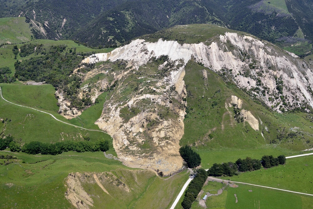
Landslides resulting from rupture on the Papatea Fault near the Clarence River following the 2016 Kaikōura Earthquake (20/11/2016) - cropped. Dougal Townsend, 210399, GNS Science / Toka Tū Ake EQC


Our annual Request for Proposals (RfP) supports eighteen-month, Associate Investigator led research projects that complement the Coordinated Research Projects within the Disciplinary Themes (DT) and Inter-disciplinary Projects (IP) of QuakeCoRE's Research Programme.
The RfP includes Proposal Development Grants which enable early career researchers to develop strong contestable external research proposals.
The annual call for RfP Projects and Proposal Development Grants is held in September / October and is announced on the QuakeCoRE website and in our newsletter.
Stay up-to-date with the QuakeCoRE monthly Newsletter

